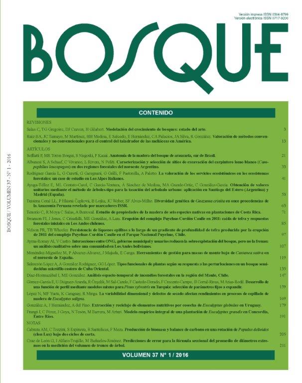
Spatio-temporal analyses of wildfires in the region of Maule, Chile
Main Article Content
Abstract
In the last decades, forest fires have been a concern in different regions of the world, especially by increased occurrences product of human activities and climate changes. In this study the spatio-temporal trends in the occurrence and area affected by fire in the Maule region during the period 1986-2012 were examined. We use the Corporación Nacional Forestal fire database, whose records were spatially represented by a grid of 2x2 km. The occurrence was stable during the analyzed period with an average of 378 events per year. The burned area presented three periods above average with 5.273 hectares per year. Most of the fires affected surfaces of less than 5 hectares, while a very small number of events explain most of the area annually burned in the region. According to the startup fuel, we found an increasing number of events initiated in forest plantations in contrast to the decreasing number of fires originated in the native forests. Causes of fires associated with transit and transportation were the most important. The number of events accidentally caused by burning waste signiicantly increased in the period studied. Most of the ires occurred in the coastal area and the central valley, strongly associated with the road network and the most populated cities. This work represents an important contribution to the characterization of forest ires in the region of Maule, being the irst to represent the ire statistics in Chile in a spatially explicit way.

